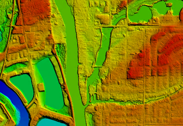
Kucera International, Inc. provides Geographic Information Systems (GIS), aerial imaging, and digital land surveying services to Texas state agencies, local governments, regional councils, higher education institutions, and other eligible public sector organizations through the Texas DIR Cooperative Contracts Program.
This contract streamlines procurement and offers pre-negotiated pricing for Kucera’s geospatial and mapping services.


Have questions or interested in exploring your options? You’re in the right place. We offer guidance and customized geospatial solutions based on your project’s unique requirements. As a smaller, customer-focused team, we’ll work alongside you every step of the way.
Email: TexasDIRGeospatial@KuceraInternational.com Phone: (440) 975-4230Contact Us