


“Ability proceeds from a fusion of skills, knowledge, understanding and imagination, consolidated by experience.”
MICHAEL KLARKE
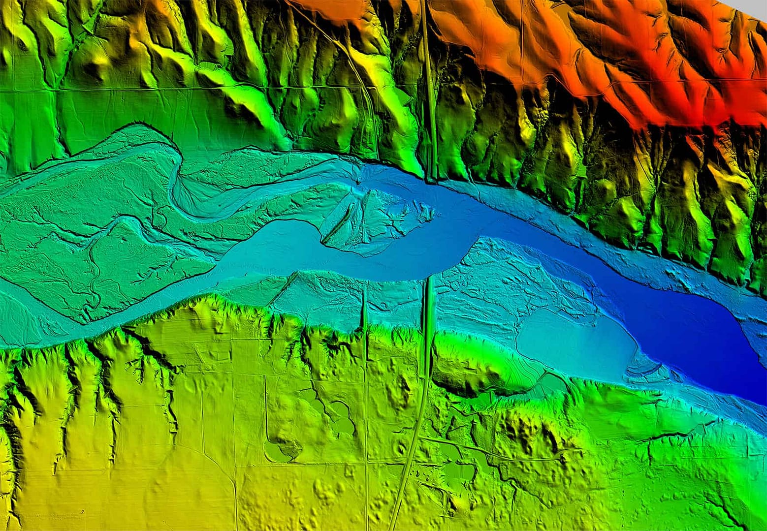
Kucera is an industry leading provider of professional aerial and ground sensing/surveying, photogrammetric mapping, geospatial data processing and related geomatic services.
RECENT ARTICLES

Lidar Technology Reveals Historic Mayan site – Article from Photonics
We are seeing greater use of Lidar in Archaeology and it's a good thing. Link to full article

New USGS LiDAR Specification Released
The USGS National Geospatial Program has released the new USGS base LiDAR specifications that defines deliverables that will create nationally consistent LiDAR data acquisitions. Some of the notable changes are: • The project area will [...]

Testing for blog posts for John
Lorem ipsum dolor sit amet, consectetur adipiscing elit, sed do eiusmod tempor incididunt ut labore et dolore magna aliqua. Ut enim ad minim veniam, quis nostrud exercitation ullamco laboris nisi ut aliquip ex ea [...]